On the Real Watership Down
The Portway
A historic Roman Road running through Hampshire.
Two or three hundred yards away and directly across their line, a belt of trees ran straight across the down, stretching in each direction as far as they could see. They had come to the line of the Portway – only intermittently a road – which runs from north of Andover, through St Mary Bourne with its bells and streams and watercress beds, through Bradley Wood, on across the downs and so to Tadley and at last to Silchester – the Romans’ Calleva Atrebatum.
Where it crosses the downs, the line is marked by Caesar’s Belt, a strip of woodland as straight as the road, narrow indeed but more than three miles long. In this hot noon-day the trees of the Belt were looped and netted with darkest shadow. The sun lay outside, the shadows inside the trees. All was still, save for the grasshoppers and the falling finch-song of the yellow-hammer on the thorn.
Chapter Thirty—A New Journey
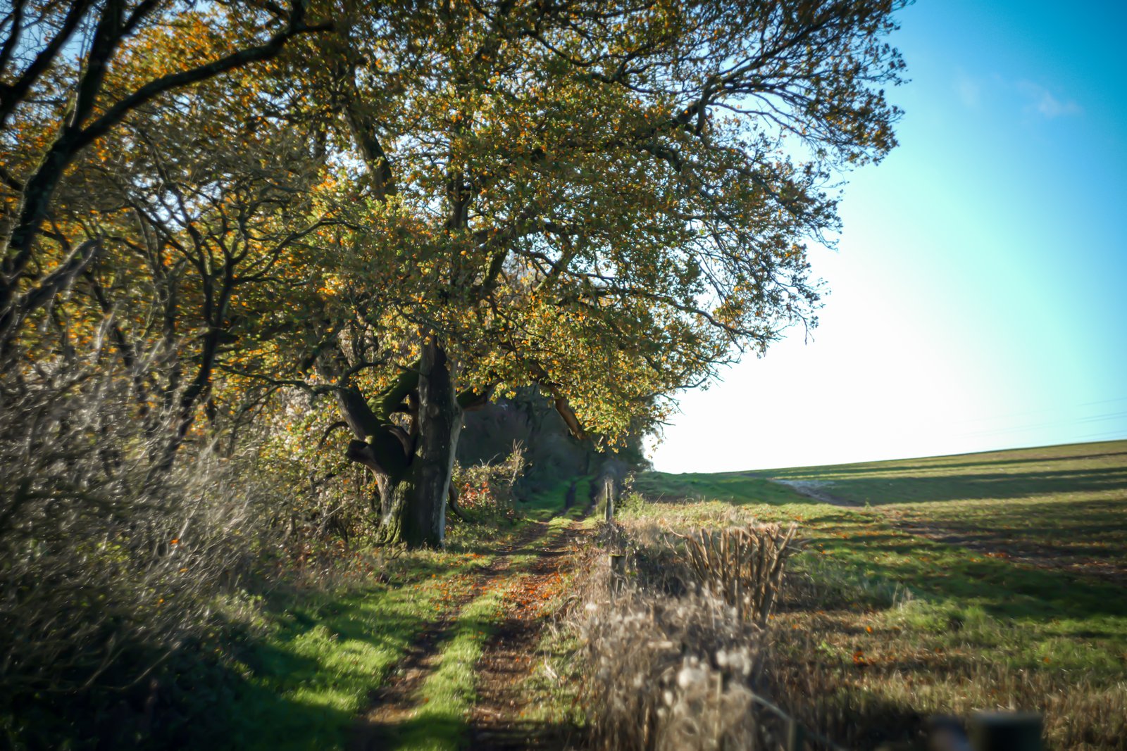
The Portway alongside Caesar’s Belt.
The Portway (or Port Way) is an old Roman road that runs from Old Sarum, near Salisbury in Wiltshire, in a north-easterly route to Silchester in Hampshire.
The section of the Portway relevant to Watership Down is Caesar’s Belt and that merits its own entry, though in Chapter Thirty, A New Journey, Richard Adams does make reference to some other locations on the route as it stretches across Hampshire. These include the beautiful village of St Mary Bourne and the Roman settlement at Silchester.
Andover
A rather unremarkable town eight miles east of Hampshire’s border with Wiltshire, Andover is best known for housing Britain’s Army Headquarters. It’s easy to pass through and see very little but supermarkets, a tired central shopping area and industrial estates, but Andover does sit on the River Anton, a pretty chalk stream that flows south to join the River Test near Chilbolton.
St Mary Bourne
Sat in a downland valley, the picturesque, postcard-worthy village of St Mary Bourne is described by Richard Adams as being notable for its ‘bells and streams and watercress beds’. Though the watercress beds are now largely contained behind the gates and high hedges of the Vitacress company, the Bourne Rivulet chalk stream is a tributary of the River Test and was described by author Harry Plunkett Green as ‘unquestionably the finest trout stream in the south of England’.
Adams’s bells are contained in the short tower of St Peter’s Church, a flint and stone building with a beautiful graveyard, though I believe the most attractive feature of the village is its abundance of thatched cottages.
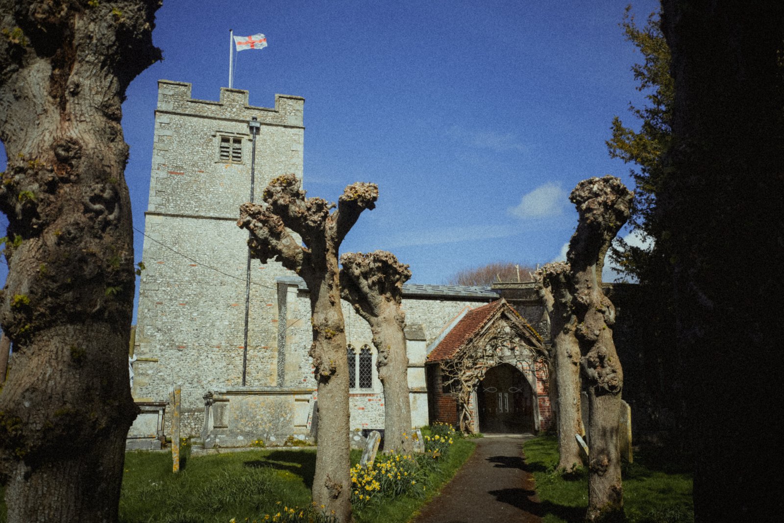
St Peter’s Church.
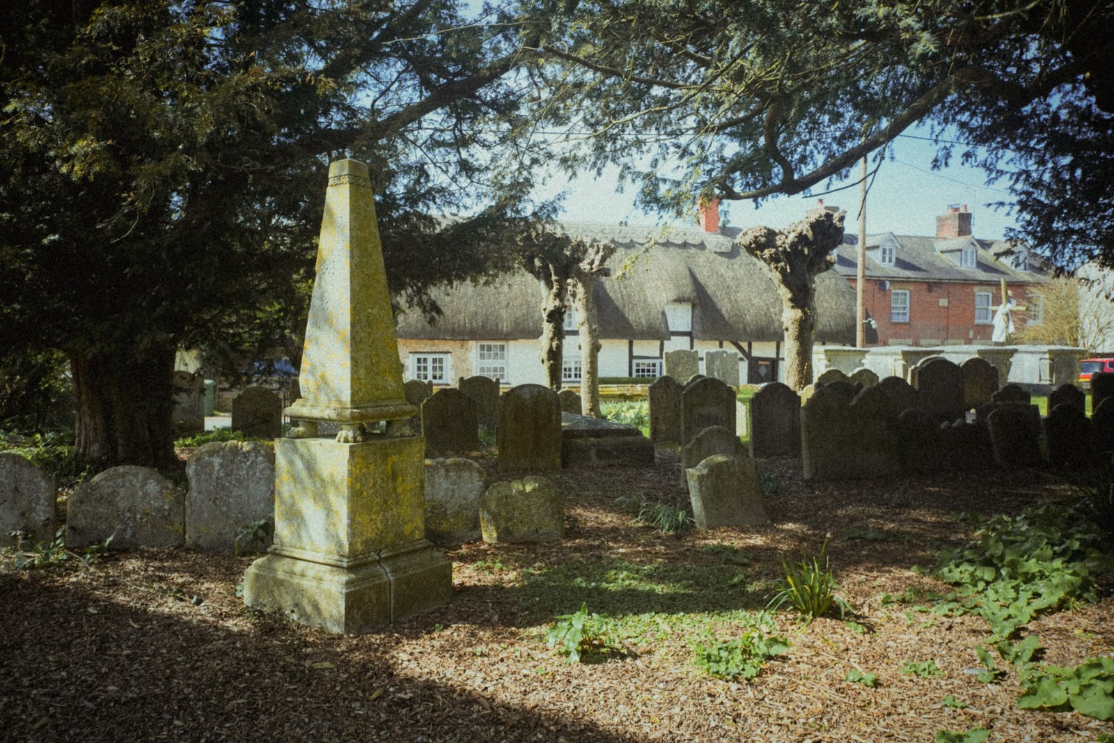
St Peter’s Church.
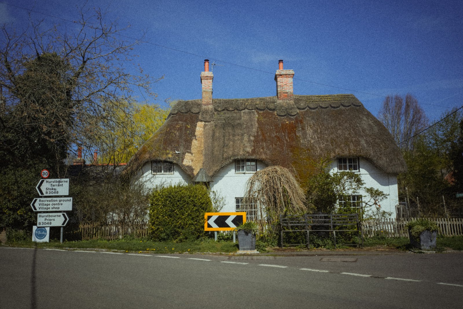
Thatched building.
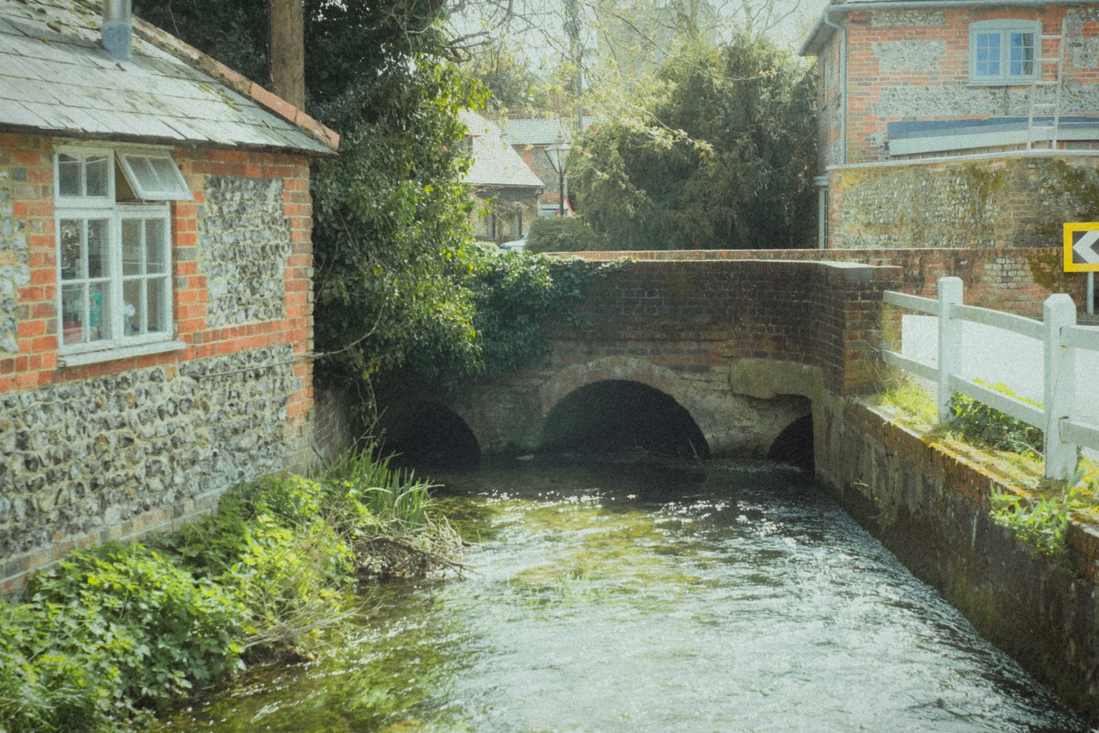
The Bourne Rivulet. Not a film title.
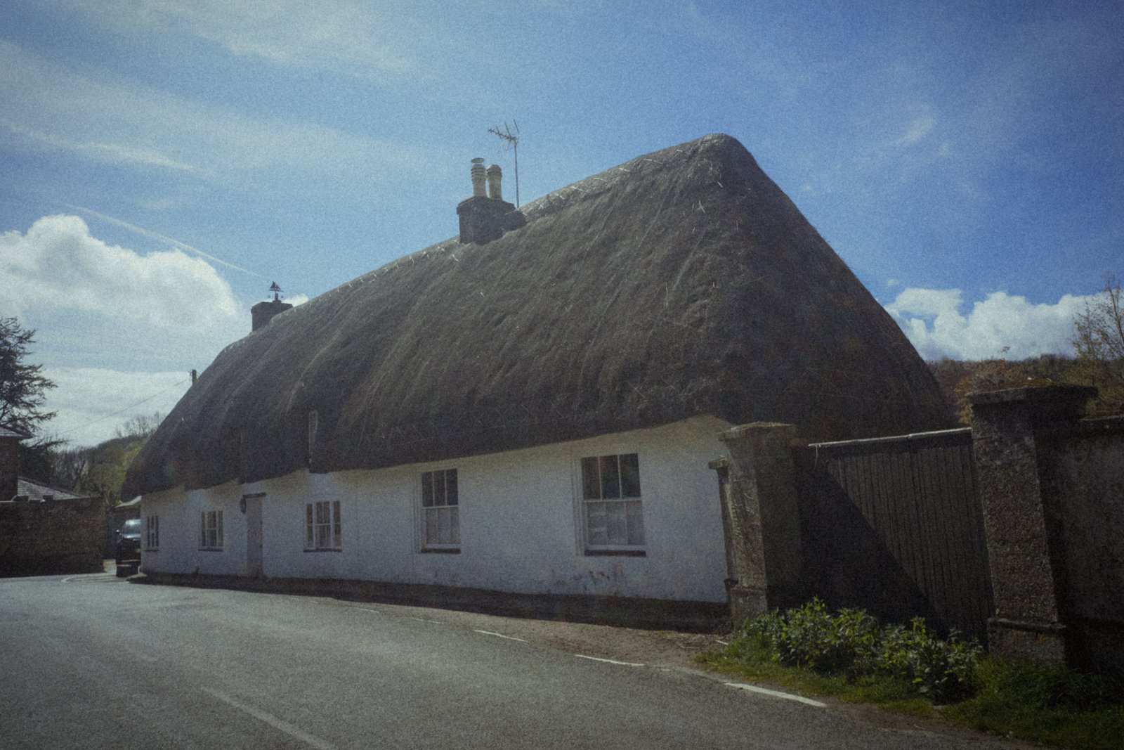
Thatched building.
Bradley Wood
Two miles north of Whitchurch, alongside the busy A34 dual-carriageway, is Bradley Wood. When I visited in early April 2026 it was teeming with beautiful yellow primroses. The east-west route of the Portway follows a path that cuts through the woodland.
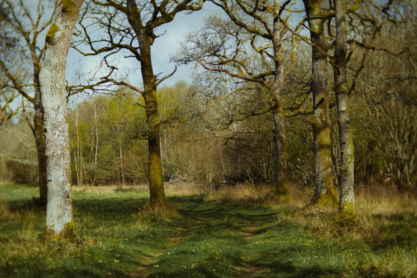
Bradley Wood.

April primroses.
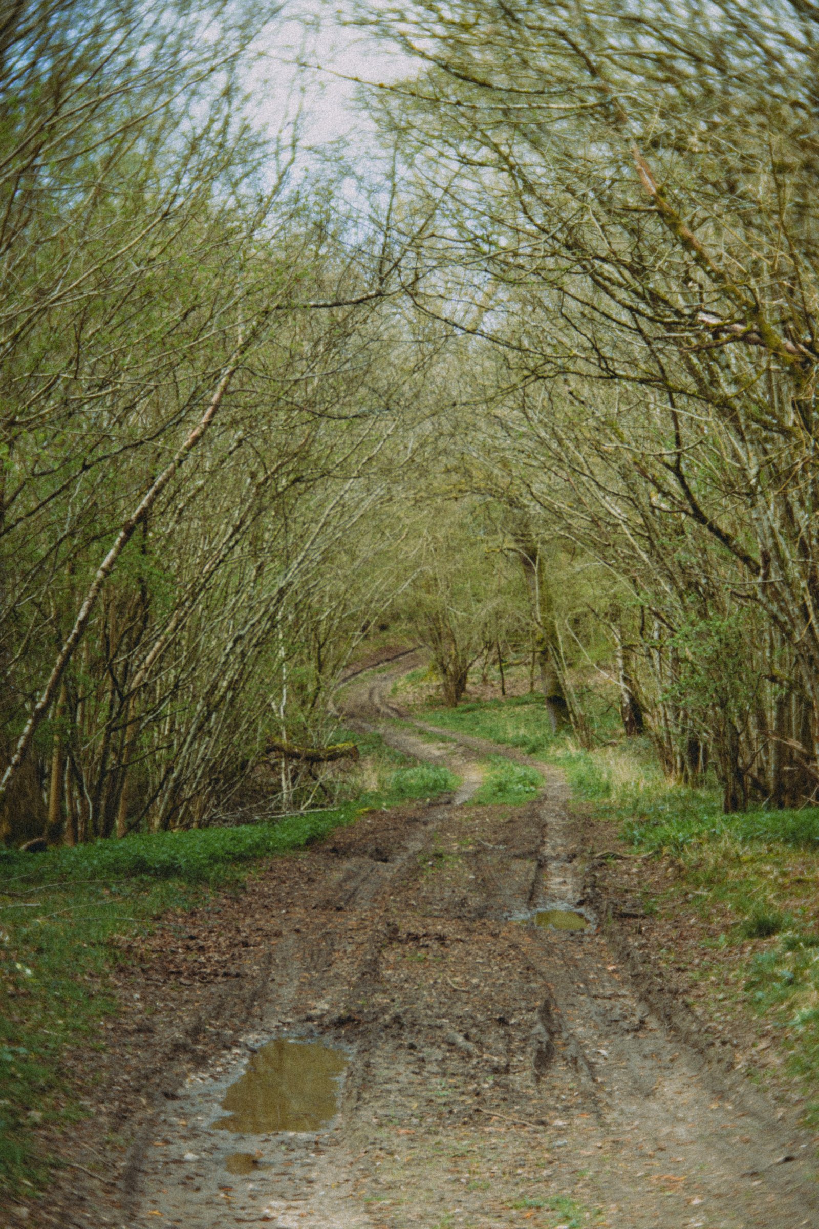
The route of the Portway through Bradley Wood.
Tadley
As much as I hate to say it, Tadley is certainly the most forgettable place mentioned across the two Watership Down books. It’s also the weirdest: a sterile, uninspiring town of modern housing sat in the shadow of the mammoth Atomic Weapons Establishment’s main gate.
Silchester
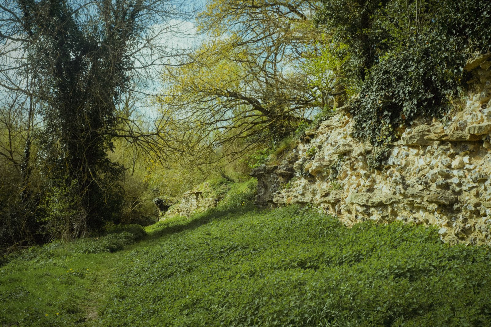
Despite sounding like it should be a large city, Silchester is essentially two separate locations. The first is the modern day village; the second being the one Adams referred to: the old Roman settlement of Calleva Atrebatum to the east. The latter’s stone walls and small amphitheatre are managed by English Heritage. The settlement’s perimeter contains St Mary the Virgin Church, a beautiful building sat in an elevated position atop the eastern wall.
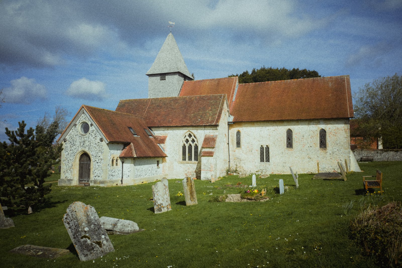
St Mary the Virgin Church, Silchester.