On the Real Watership Down
The Ridge
The kindly Dr Adams releases Hazel back into the wild.
Well, I’ll tell you what,’ said Doctor Adams, taking his thin fob watch on the fingers of one hand and looking down at it as he held it at arm’s length—for he was long-sighted—’I’ve got to go a few miles up the road to see an old lady at Cole Henley. If you like to come along in the car, you can let him go on the down and I’ll bring you back before dinner.’
Lucy skipped. ‘I’ll just go’n ask Mum.’
On the ridge between Hare Warren Down and Watership Down, Doctor Adams stopped the car.
‘I should think this would be as good as anywhere,’ he said. ‘There’s not a lot of harm he can do here, if you come to think about it.’
They walked a short distance eastwards from the road and Lucy set the rabbit down. It sat stupefied for nearly half a minute and then suddenly dashed away over the grass.
Chapter Forty Eight—Dea ex Machina
Chapter Forty Eight, Dea ex Machina details how Lucy, the farmer’s daughter at Nuthanger Farm, saves Hazel from the claws of her cat Tab. Shortly after, Lucy’s mother is visited by the kindly Dr Adams—a character based on Richard Adams’ father.
Dr Adams is persuaded by Lucy to take her to release Hazel into the wild. His next scheduled call is in Cole Henley, so he takes the narrow line that leads south from Sydmonton Crossroads (the same lane where it is possible to view the Copse Where the Fox Struck) and stops the car ‘on the ridge between Hare Warren Down and Watership Down’. From here, they ‘walked a short distance eastwards from the road and Lucy set the rabbit down.’
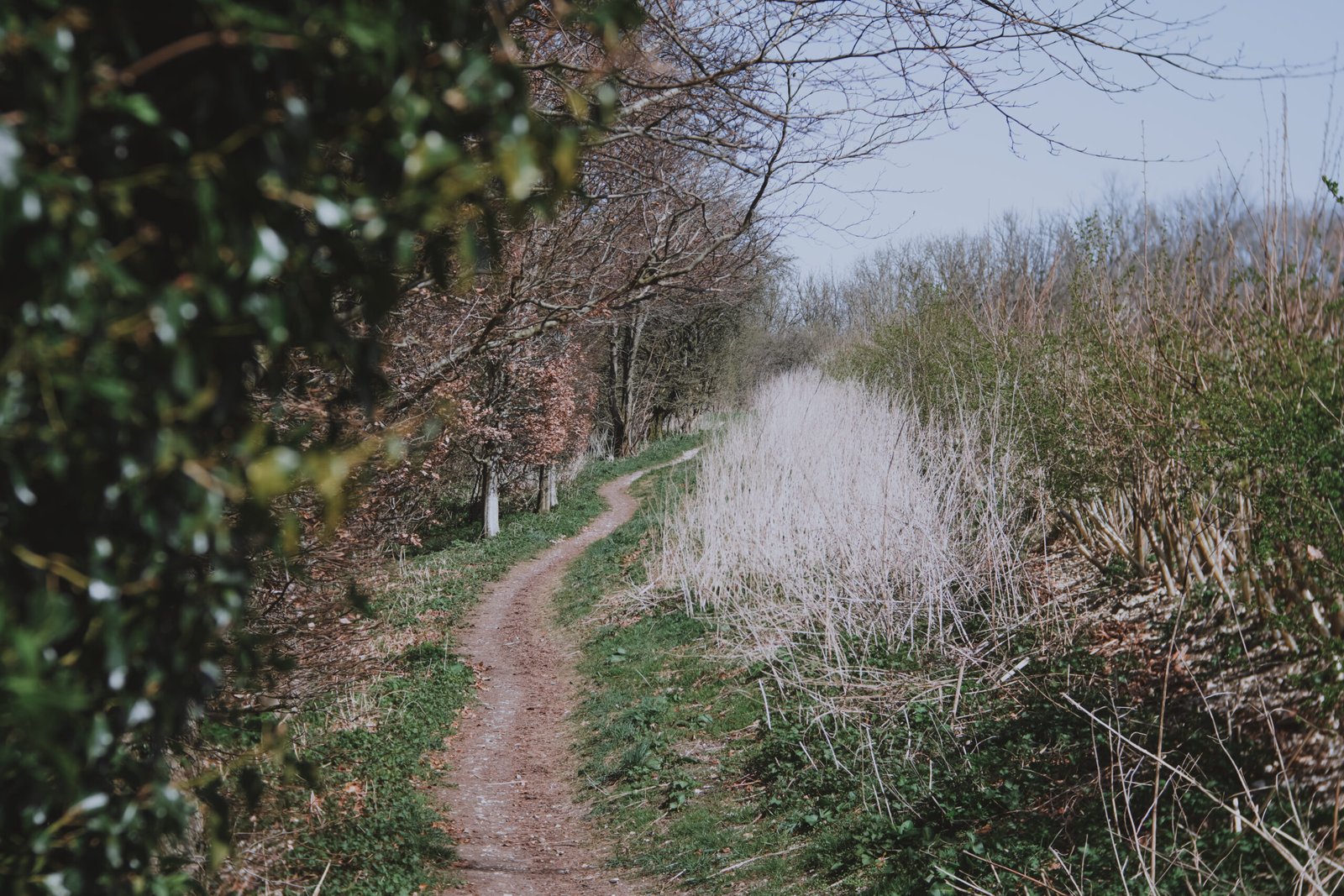
The path shared by the Watership Down Trail and Wayfarer’s Walk, heading uphll from the lay-by onto Watership Down.
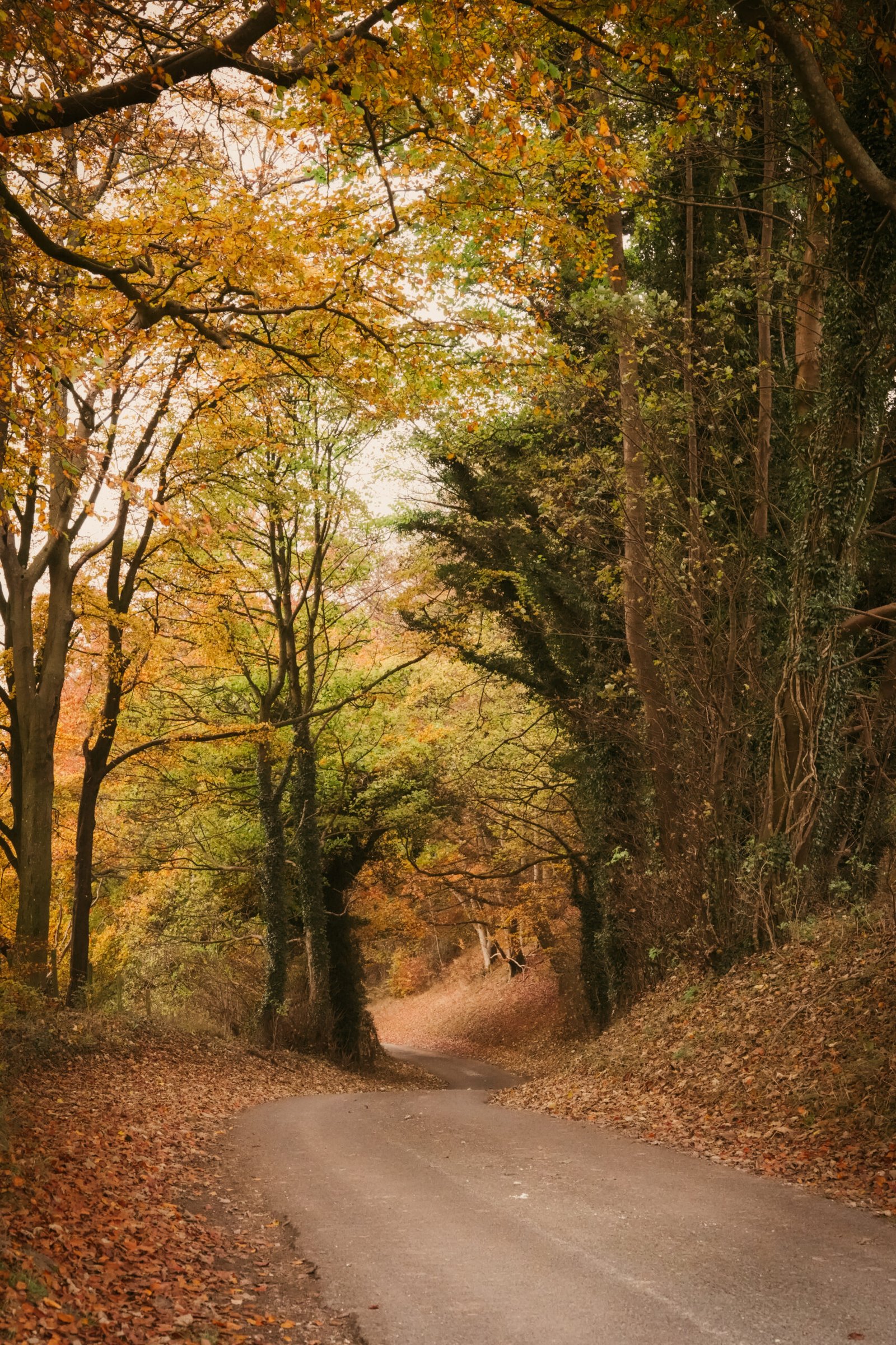
The ridge where Dr Adams stopped the car separates the southern extremity of Watership Down’s western slope from Hare Warren Down.
Trying to locate the place where Lucy set Hazel down upon the ground has been another of those tasks which has necessitated hitting the maps. For the modern visitor, the idea of heading eastwards from the ridge is to proceed uphill on the footpath shared by the Wayfarer’s Walk and Watership Down Trail. It’s a beautiful stretch, filled with blossom and flowers in the spring and takes you out close to the trig point at the top of the Down. However, this path doesn’t seem to fit the bill:
One, you’re initially headed north-northeast from the ridge as the footpath treads between the woodland on Watership Down’s slope to its north, and the steep arable field to its south.
Two, this stretch of footpath seems to have been a fairly recent addition to the map and does not feature in the 1961 Ordnance Survey Map of the area.
Dr Adams would have stopped his car somewhere around here. This is the view if he looked back downhill. Autumn 2024.
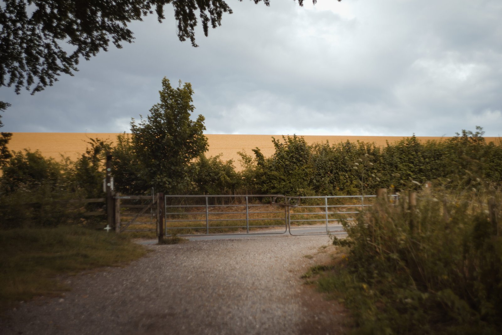
A more likely alternative is shown in an Ordnance Survey aerial photo sheet from May 1948. This is a well worn track up the previously mentioned arable field, which is part of Nuthanger Down. In the 1940s this particular location seems to have been nothing more than a grass slope. Entry to this field was through an opening directly opposite the gate where the Wayfarer’s Walk crosses the lane. Today, this opening has been filled in by a hedgerow though a closer inspection reveals the bushes here are much lower here than their neighbours.


