On the Real Watership Down
Miscellaneous Photographs
More photographs from my journey around the landscape of Watership Down.
One of my earliest memories—as early as the rhododendrons—is of being taken by Constance, in my pushchair, down the little lane leading off the Andover Road into Sandleford Park. Sandleford Park is not a municipal park, but a tract of open country a mile square, with woods, meadows and a brook. (It was from here that Hazel and his rabbits were later to set off on their adventures.) The lane led past some rather rough cottages, in one of which lived Mrs Dolimore, the milk lady. She used to come to our back door with the milk in a great metal drum with a lid, and from this, with a metal dipper, she would dip as much milk as we wanted. The milk and the metal also had their own smells.
The lane ran on between elms and high hedges into the Park meadows themselves. I remember the smell of the dust, the smell of dried cow-dung and of nettles and woundworts in the ditches. In the Park were some old, gnarled hawthorn trees, all bent every which way. One was bent into a regular ‘S’, and formed a natural seat. This seemed wonderful, and I always used to go and sit on it. Even a light breeze would bring out a whispering from the boughs of these isolated trees.
Richard Adams: The Day Gone By —Chapter II
Visiting as many of the real world locations in Watership Down as I could was a drawn out process, but a happy one. It has been therapeutic, allowing me to experience some of England’s most beautiful countryside and, at times, escape into a landscape where you can sense the past and simpler times.
Along the way, I took a good few photographs. Most have been consigned to the ether and a few became memories worth keeping and made it onto the main pages of this website. There were also some that were okay but didn’t make the cut, either because I wasn’t particularly happy with them or they weren’t totally relevant. Rather than bin them all, I’ve put the also-rans on this page, grouped by geography.
Sandleford Park
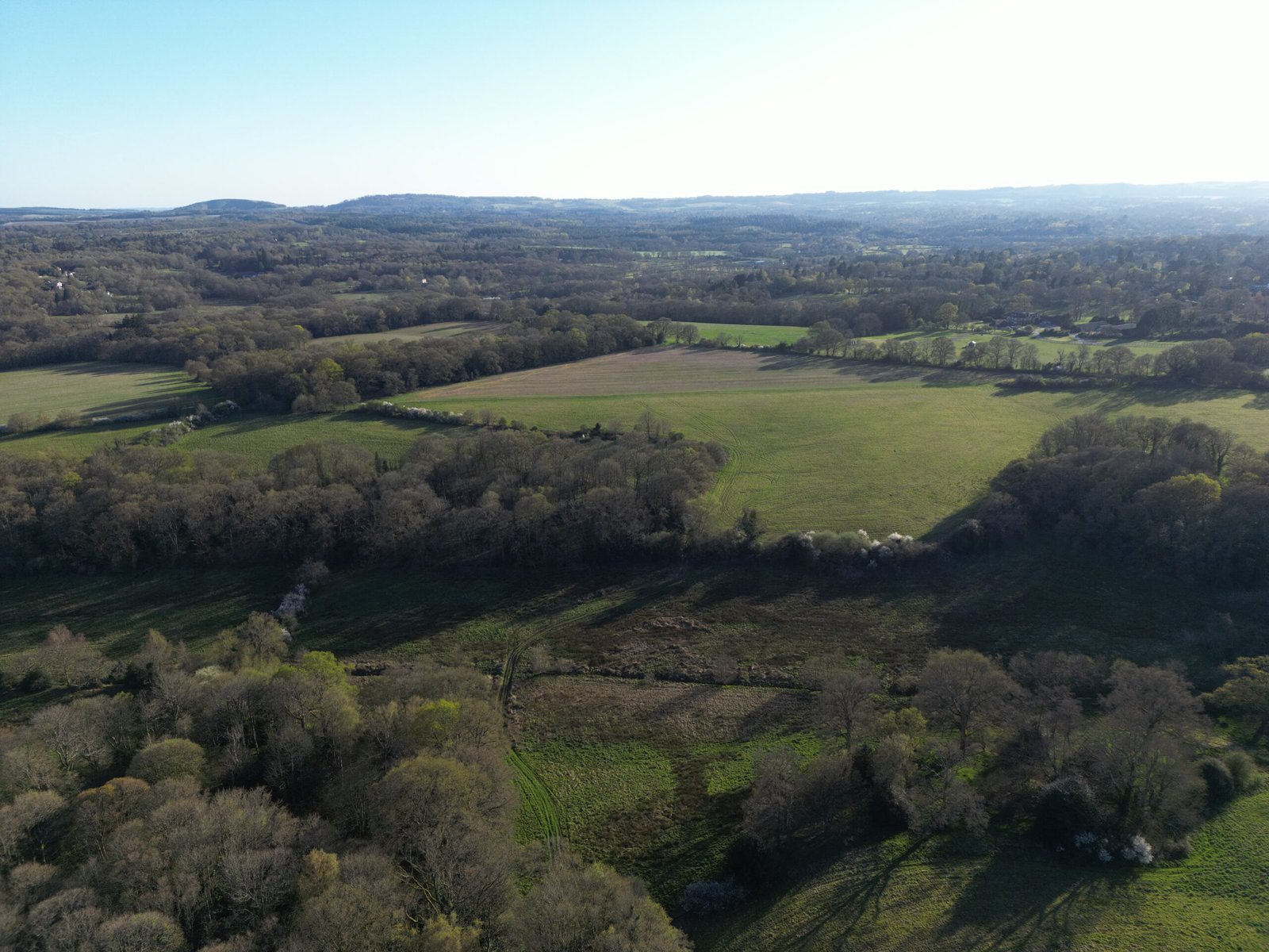
The warren site, with Slockett’s Copse on the left and the drainage ditch running through the foreground.

The bank with rabbit holes.

View from Slockett’s Copse over the culvert.

The old cart track.

Rugby club, seen from Barn Copse.

Muntjac skull at Barn Copse.

Fallen tree at Barn Copse.

Where I crossed the Enborne to get some photos of the Beanfield.

The rabbits’ crossing point. February 2026.

The brook flowed into this pool.

Ilex trees in the woods.
Newtown

Rabbit’s eye view of the Beanfield up to one of the houses in the far corner.

Newtown Church.

Lantern above the Church entrance.

Church lych gate.

Newtown Common, October 2025.

Newtown Common, October 2025.

Newtown Common, October 2025.

Newtown Common, October 2025.

Newtown Common, October 2025.

Newtown Common, October 2025.
The Sydmonton Estate
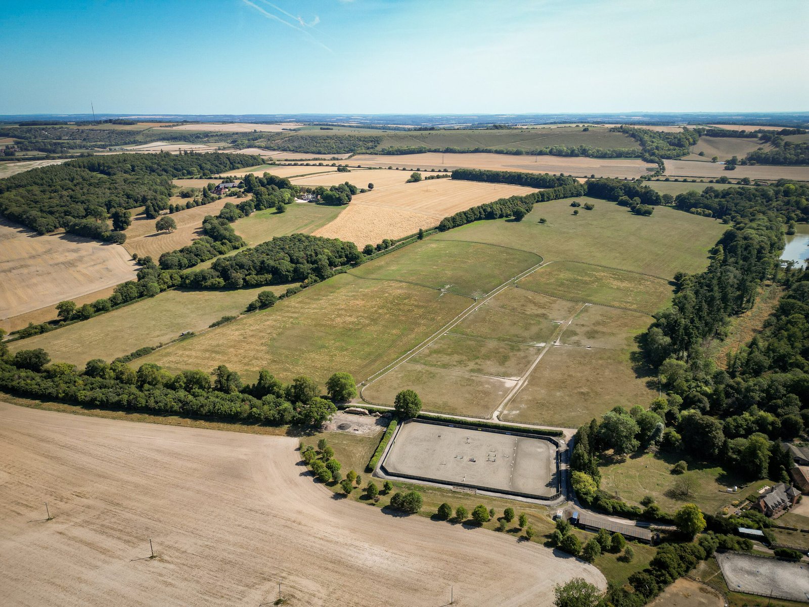
Over Watership Farm and looking to Watership Down.

December 2025.

Ladle Hill from Sydmonton. December 2025.

The way into Sydmonton Court from the Kingsclere to Old Burghclere road.

Estate gates. December 2025.

December 2025.

The lake. The rabbits passed to the right. December 2025.
Under Watership Down

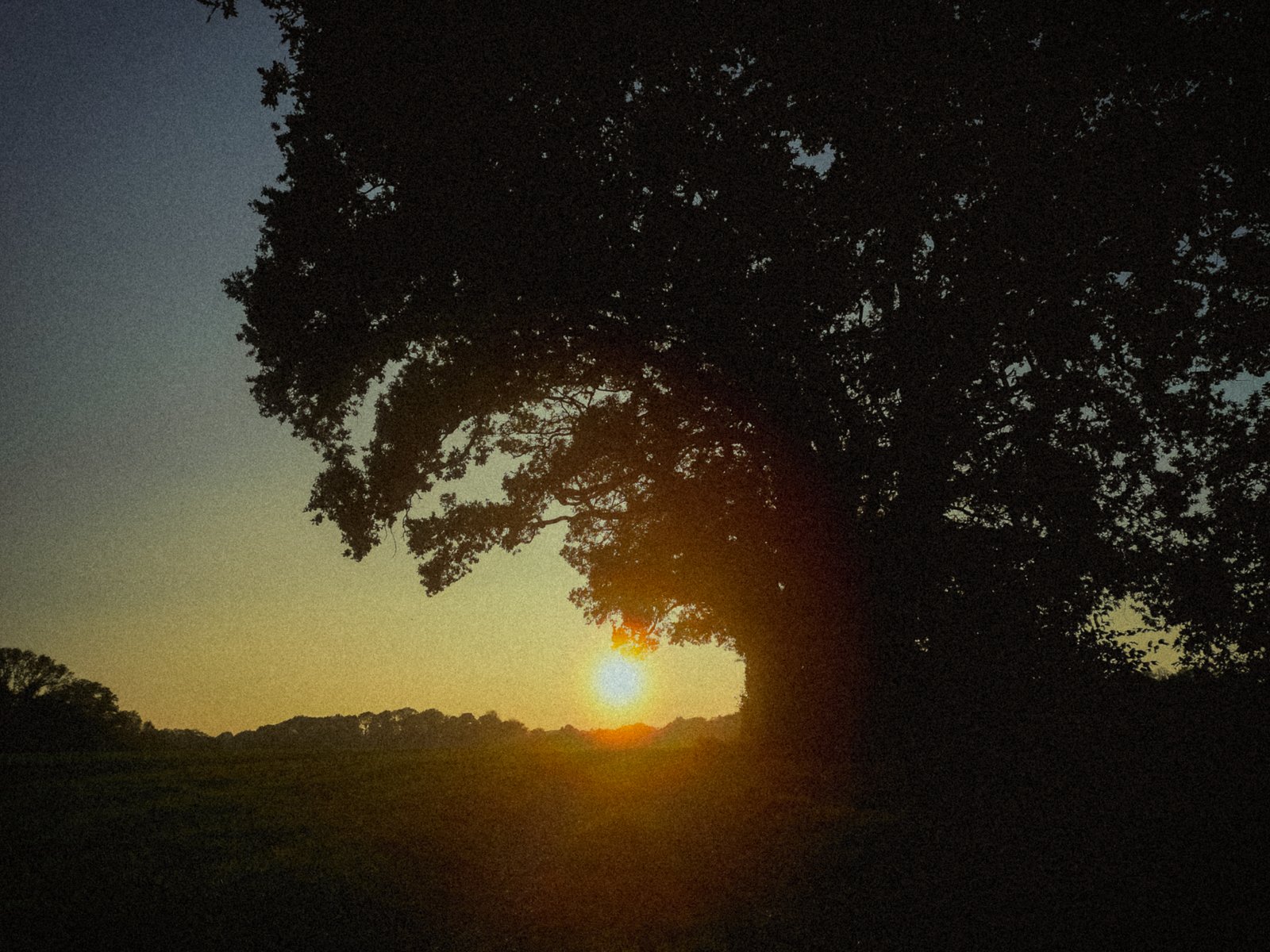
Sunset at the gate of the western field on the lane to Sydmonton Crossroads.

PA-64 in September 2025. The foot of the Down is off to the right.

Pylon in the centre of the field and Cottington’s Hill to the right.

Looking up from the field gate.
On Watership Down

East towards Aldermaston and Reading from the western end of the Down.

South to Ashley Warren Farm. August 2025.

Gallops at dusk. The pink lights are on top of cranes at Aldermaston.

South to Overton Mill’s chimneys.

At the west end of the Down. April 2025.

At the west end of the Down. April 2025.

Hare Warren Down, Ladle Hill and Beacon Hill. August 2025.

At the west end of the Down. August 2025.

Looking east. The beech hanger is behind the hedge line on the right.

The beech hanger (left) with Caesar’s Belt on the horizon.

Plants by the beech hanger. August 2025.

The western edge of the Down. November 2024.

It’s all about the horses on Watership Down.

Hay bales near Kingsclere. August 2025.

Sheep on the northern slope, below the Gallops. September 2025.

Sheep on the northern slope, below the Gallops. September 2025.
The Ridge

Sign at the foot of the path up to Watership Down, close to where Hazel was released.

Knapweed.

Grass.

The path to Hare Warren Down.

West to Hare Warren Down.

From the roadside.

From the roadside. September 2025.
Efrafa
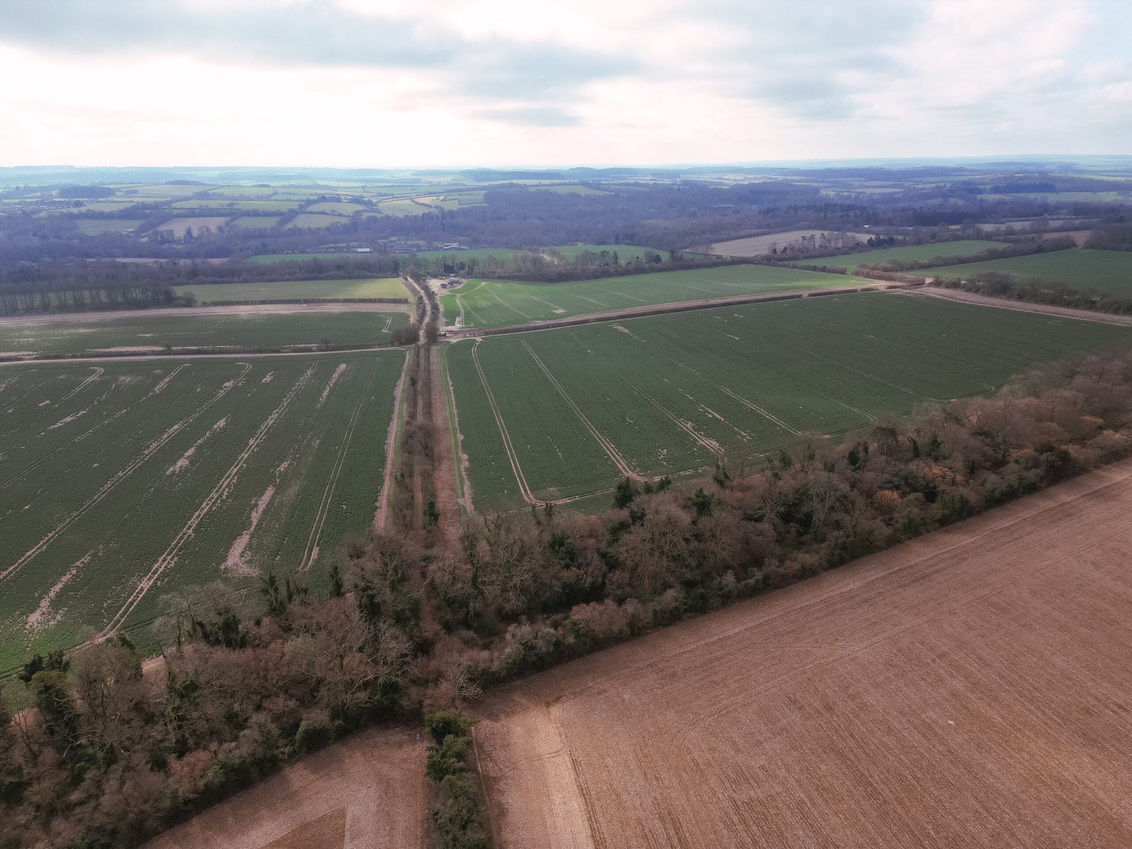
The Crixa, looking towards the Test.
North from the Crixa.
Cowslip’s Warren

The track at the rabbits’ approximate departure point.

Palmer’s Hill Court, possibly where the (fictional) rabbit farmer lived.
Sunset on the track. October 2025.

Looking south from the cart track to the Watership Down escarpment.
")
Looking south from the cart track.

The Flayrah Field. The trees on the right are part of Cole’s Copse. October 2025.
The Great Arch

The arch whilst facing south.
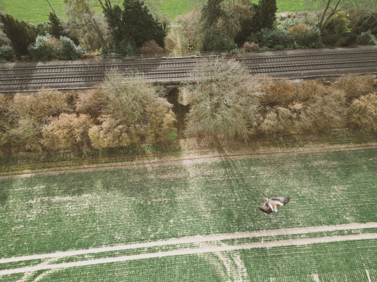
The arch and a very agitated buzzard!
Lower Bridge
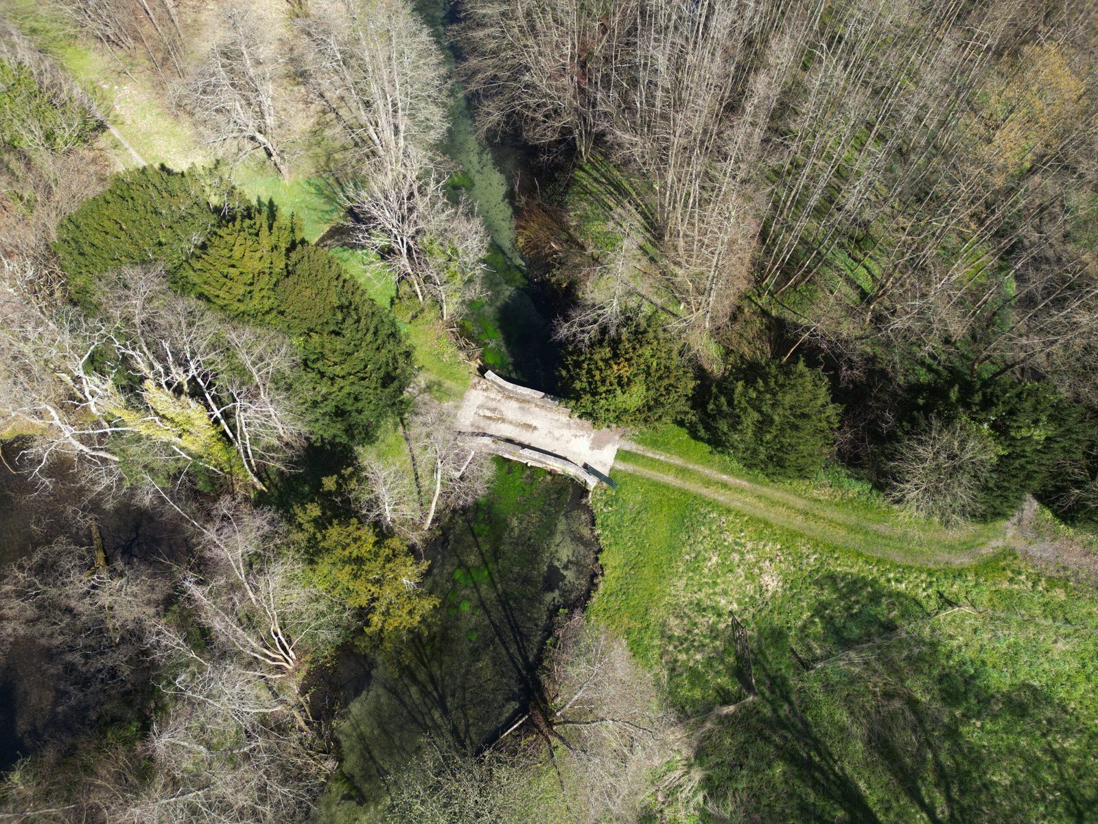
The lower bridge, seen from above and full of weeds.
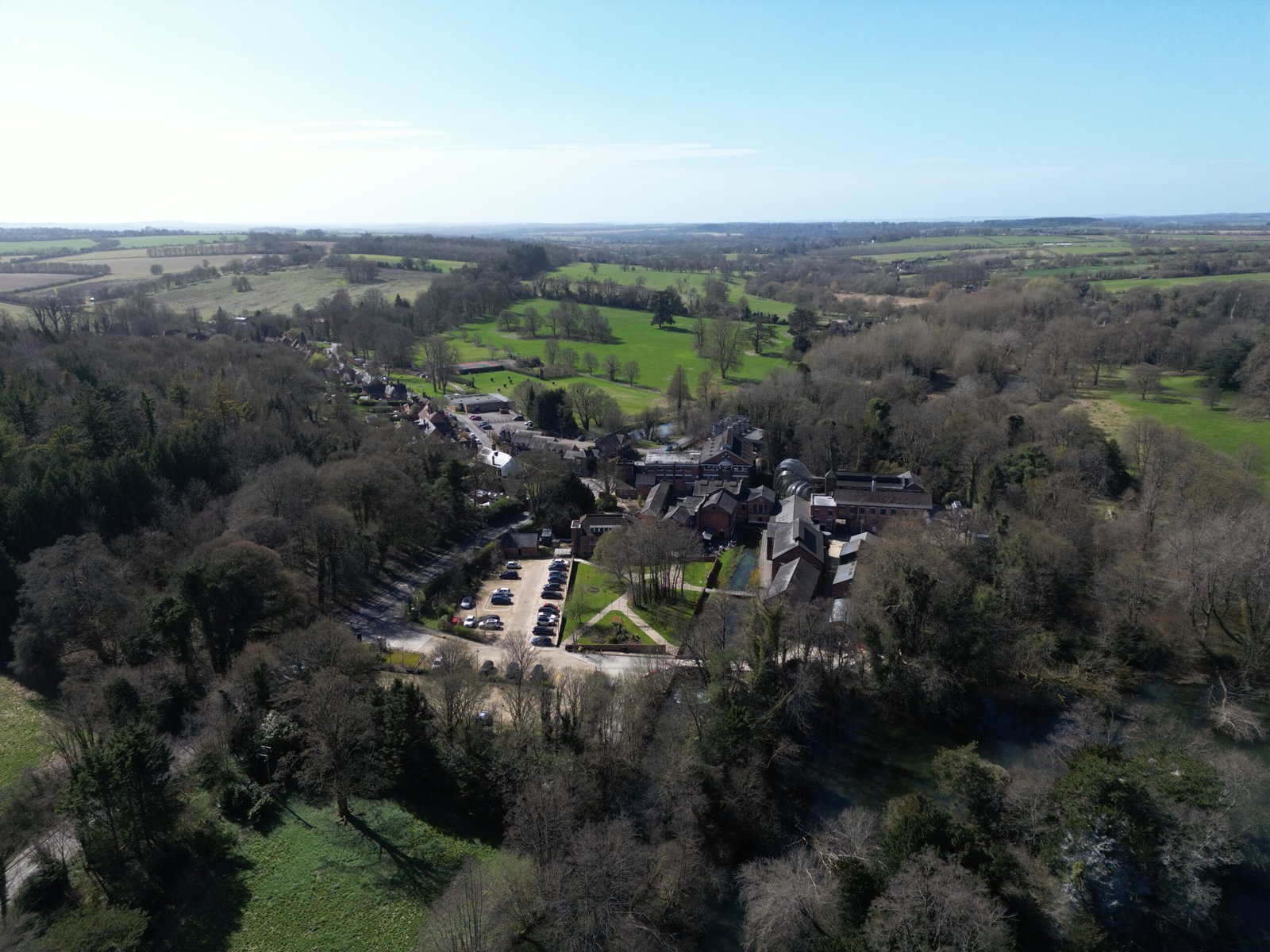
The Bombay Sapphire distillery.
The Spinney and Caesar’s Belt

The spinney is central, with the combe to the left.

Blackthorn sloes along the Belt. November 2025.

Oak leaves. November 2025.

At the pathway through the Belt.

Hawthorn berries.

Passing through the Belt. November 2025.

Wild radish. November 2025.

Wild radish. November 2025.

Wild radish. November 2025.
")
Poppies…

Poppies…

Poppies…

Poppies. All September 2025.

The spinney seen from the combe. September 2025.

Inside the Belt. November 2025.

Hawthorn berries. November 2025.
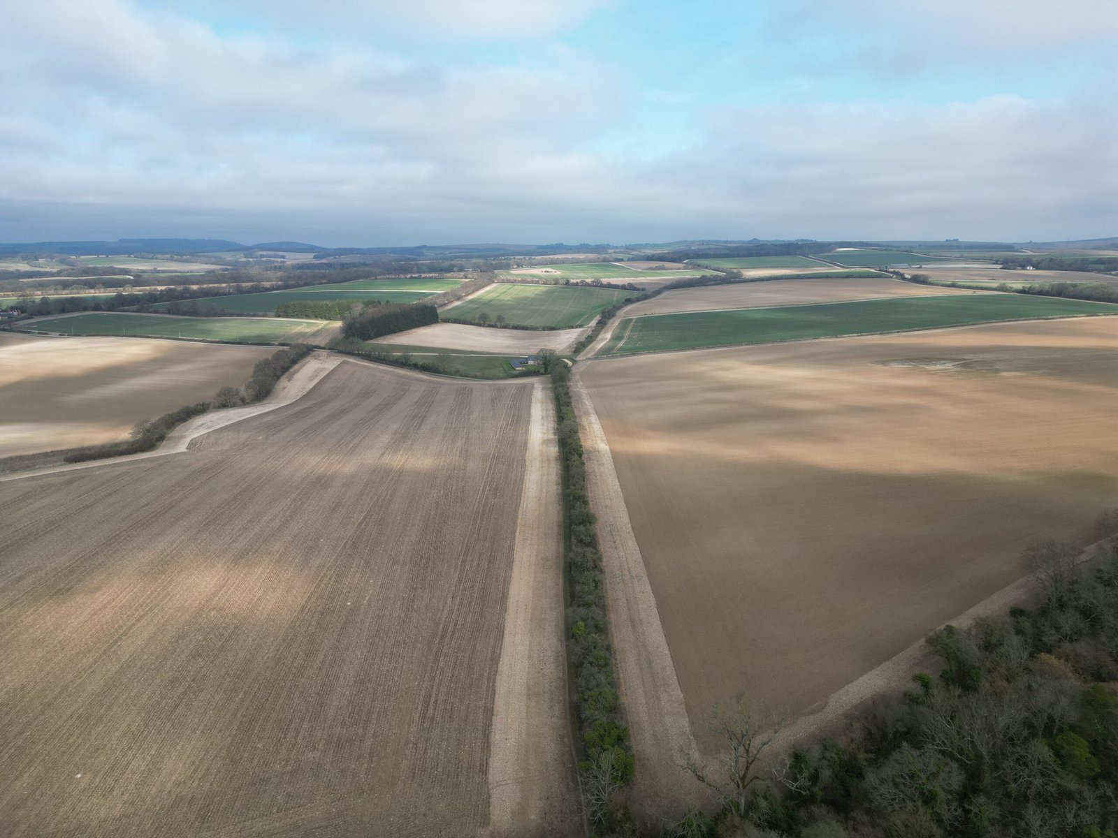
Ladle Hill
")
Looking to the south.
Elsewhere

Off the lane to Cole Henley.

Caesar’s Belt on the lane to Cole Henley.

The mill-stream running alongside the River Test on The Lynch at Overton.

The River Test next to The Lynch at Overton. October 2025.

The River Test next to The Lynch at Overton. October 2025.
